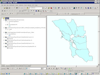
In this first 3-week section, we will be producing maps of Bay Area demographics as well as asthma hospitalization rates and some pollution indices. As part of the preparation, we had to compile a metadata chart containing the layers we would need to use. I can't for the life of me figure out how to link it to this, so instead here (to the left) is a screen shot of the layers I plan to use; below is a link to the same thing, only bigger.
I haven't included anything in this screenshot other than the outlines of the Bay Area counties. I'm still having some problems, with a) having a correct, or complete, roads file - although the roads aren't crucial for the public health part, I think, so far; and b) with the correct projection for the air sampling stations, which so far has eluded me. Maybe by next week...
No comments:
Post a Comment